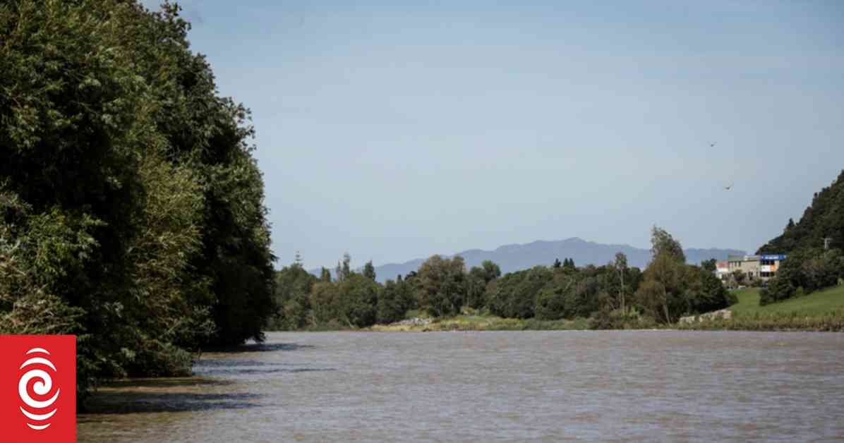
Alright, so let’s dive into this wild weather report happening in New Zealand. The North Island is getting hit hard with heavy rain and thunderstorms, especially in the eastern Bay of Plenty. An orange level rain warning was issued for the region east of Ōpōtiki until 6am on Monday, with up to 90mm of rain expected. The Hutt River in Lower Hutt is rising to its highest level in a year due to the heavy rain, causing surface flooding in areas like Alicetown.
The Hutt City Council is on high alert, monitoring the Waiwhetū Stream and closing off roads like Harcourt Werry Drive and Block Road due to flooding. Jon Kingsbury, the council’s director of economy and development, emphasized the importance of the Riverlink project for improved flood protection. Cars had to be quickly moved out of the Riverbank Car Park as the river rose rapidly, forcing closures in various areas. Despite the chaos, Kingsbury expected all roads to reopen by 6am on Monday, giving some hope in the midst of the storm.
Over in Auckland and Northland, heavy rain and severe thunderstorm watches were in place, set to last until 5am Monday. The South Island wasn’t spared either, with overnight snowfall warnings for alpine passes along State Highway 73. MetService meteorologist Kgolofelo Dube highlighted the extreme wind gusts recorded in the past 12 hours, reaching up to 174kph in Mount Hutt. The weather in both islands was driven by cold fronts in the South and a low-pressure system in the North causing windy and rainy conditions.
Despite the chaos, there’s a silver lining on the horizon. Niwa mentioned an extended period of dry and settled weather for most of the country after the recent active weather spell. So, hang in there, folks, better days are coming after the storm passes. Stay safe and dry out there!


