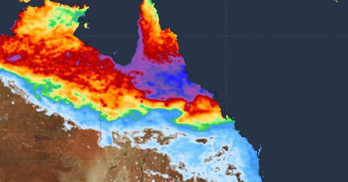
In Queensland, Australia, record-breaking rainfall has led to major flood warnings across the region, with one river expected to reach critical levels, potentially impacting the Bruce Highway near Ayr. As residents brace for the impact of severe weather, another state remains on high alert for the possibility of a tropical cyclone.
Forecasted Deluge and Impending Threats
Senior Meteorologist Miriam Bradbury has issued a grim forecast, predicting continued heavy rain and storms for parts of Queensland. Rivers including Herbert River, Haughton River, Cape River, Upper Burdekin, Lower Burdekin, and Flinders River are facing major flooding. The Cape River at Taemas is already reaching alarming levels at 8.76m and continues to rise, posing a significant threat to nearby communities.
With a severe weather warning in place for the North Tropical Coast and Tablelands, as well as the Herbert and Lower Burdekin forecast districts, the situation is dire. The Australian Defense Force (ADF) is stepping in to build a temporary bridge to provide access to flood-ravaged areas, ensuring residents can receive essential supplies and support.
The Bureau of Meteorology has issued alerts for heavy rainfall expected between Tully and Ayr over the coming days, with the potential for dangerous flash flooding. Rainfall totals of up to 250mm within 24 hours are possible, increasing the risk of landslides and road debris. While conditions may briefly ease, the threat of isolated heavy falls remains a concern throughout the weekend.
Possible Tropical Cyclone Looms
As Queensland battles the aftermath of relentless rainfall, communities in Western Australia are keeping a close eye on a potential tropical cyclone. Senior Meteorologist Miriam Bradbury warns that Tropical low 18U, currently near the Kimberley coast, may intensify into Tropical Cyclone Zelia within the next 24 hours.
Areas between Cockatoo Island, Bidjuanga, and Broome are under a cyclone watch, with the possibility of gales developing as early as Monday morning. As the tropical low gains strength, heavy rain and large waves are expected to accompany the system, posing further risks to coastal regions.
In this volatile weather environment, preparation and vigilance are key to ensuring the safety and well-being of residents in the path of both the flooding and potential cyclonic activity. Stay informed and stay safe as meteorological conditions continue to evolve.
Stay informed and stay safe as meteorological conditions continue to evolve.


