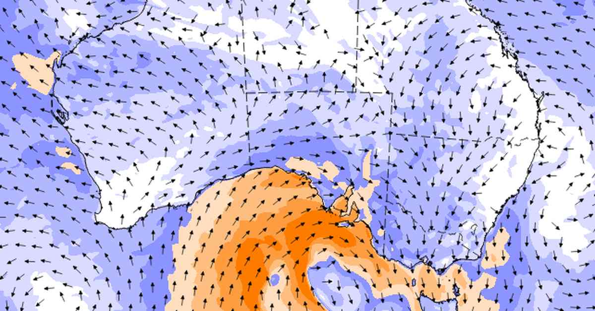
Alright, so apparently the south-eastern parts of Australia are in for a wild ride as the most powerful cold front of the year is making its way towards land. Brace yourselves, folks! A duo of cold fronts is on the horizon, set to sweep through SA, Victoria, and NSW in the next few days. This means we’re talking about strong winds, hazardous coastal conditions, rain, and even some snow in some areas.
The first cold front is already on its way, making its journey from Tasmania to parts of South Australia and western Victoria starting from Saturday afternoon. Get ready for some showers and isolated thunderstorms, folks. Tasmania and Victoria are expected to bear the brunt of the rainfall over the upcoming days, so keep those umbrellas handy. Oh, and there’s a chance of isolated damaging wind gusts in elevated parts of Victoria tonight. Better hold onto your hats!
Now, onto the second front, which is predicted to bring even more chaos when it hits Adelaide on Sunday night. This one’s bringing a band of rain, showers, and thunderstorms, so make sure to stay indoors and cozy. Strong wind gusts ranging between 80 and 100km/hr are expected to hit parts of SA and western Victoria on Sunday evening, before making their way to the rest of Victoria and NSW on Monday and Tuesday. Snow might even make an appearance in elevated areas on Tuesday, so get ready for a winter wonderland.
In terms of rainfall, expect moderate falls between 5-15mm along the southern coastline until Tuesday night. Higher totals are anticipated across Tasmania and parts of Victoria and south-eastern NSW. The Bureau of Meteorology is urging residents in affected areas to keep an eye out for the latest weather warnings. According to meteorologist Jonathan How, there aren’t any current warnings at the moment, but brace yourselves for damaging to destructive wind gusts. Stay safe out there, folks!


