Meteorologists at MetService are predicting a chilly start to the autumn season following a warm and dry conclusion to summer. The upcoming week is expected to bring wet and stormy weather, coupled with brisk southerly winds along the southern and eastern coastlines of the North Island. However, a glimmer of hope shines through as brighter conditions are anticipated towards the end of the workweek.
A rain-laden cold front is set to sweep up the South Island on Monday, bringing heavier precipitation to eastern regions before moving on from the south and west later in the day. By Tuesday, the North Island will experience its share of rain and showers, with Northland likely to be impacted by the evening. Thunderstorms are also in the forecast, particularly for areas in the lower North Island and upper South Island.
Meteorologist Mmathapelo Makgabutlane from MetService has mentioned the possibility of hail accompanying thunderstorms on Tuesday, especially in regions like Nelson, Tasman, and Marlborough. While many areas are conducive to thunderstorm development, not all will witness these phenomena. In cases where thunderstorms do occur, there is a risk of intense rainfall within a short timeframe. Following a dry spell earlier in the year, many locations are in need of rain, though sudden downpours may not be the most beneficial way for it to arrive.
Showers are expected to linger through Wednesday and Thursday in eastern parts of the country and the lower North Island. By Friday, improved weather conditions are anticipated for most areas, with some lingering cloud cover and showers in the southernmost parts of the South Island. Makgabutlane has also highlighted that temperatures are set to drop this week.
After experiencing temperatures in the upper 20s and even reaching the 30s over the weekend, midweek temperatures are expected to plummet to the mid-teens, accompanied by chilly nights. Certain regions, such as the Canterbury High Country, may even witness frost on Thursday morning, with Twizel projected to dip to a low of 2°C. The shift to cooler weather is attributed to strong southerly winds, particularly in the eastern and lower North Island, which could lead to rough sea conditions. Heightened swell levels are a concern along the Gisborne and Hawke’s Bay coastlines starting Thursday, prompting caution for individuals planning to be near the water.
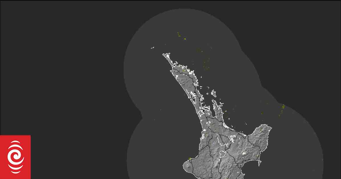
Regarding Tropical Cyclone Alfred, initial concerns about its potential impact on New Zealand have lessened as it now appears to be veering westward towards the Queensland coast of Australia. MetService will continue to monitor the situation closely for any changes. Stay informed with Ngā Pitopito Kōrero, a daily newsletter curated by our editors and delivered directly to your inbox every weekday.


